It has taken some time for me to get round to reimplementing the Strava Challenge Trophy Cabinet that was a popular feature of the last version of VeloViewer but the wait is now over! On your VeloViewer Summary page you are now provided with a list of all the Strava Challenges that you have completed, fully or in part along with any current Challenges that are in progress.
Month: September 2013
Strava Bookmarklets – Map Flipper for Open Cycle/Street Map and Ordnance Survey
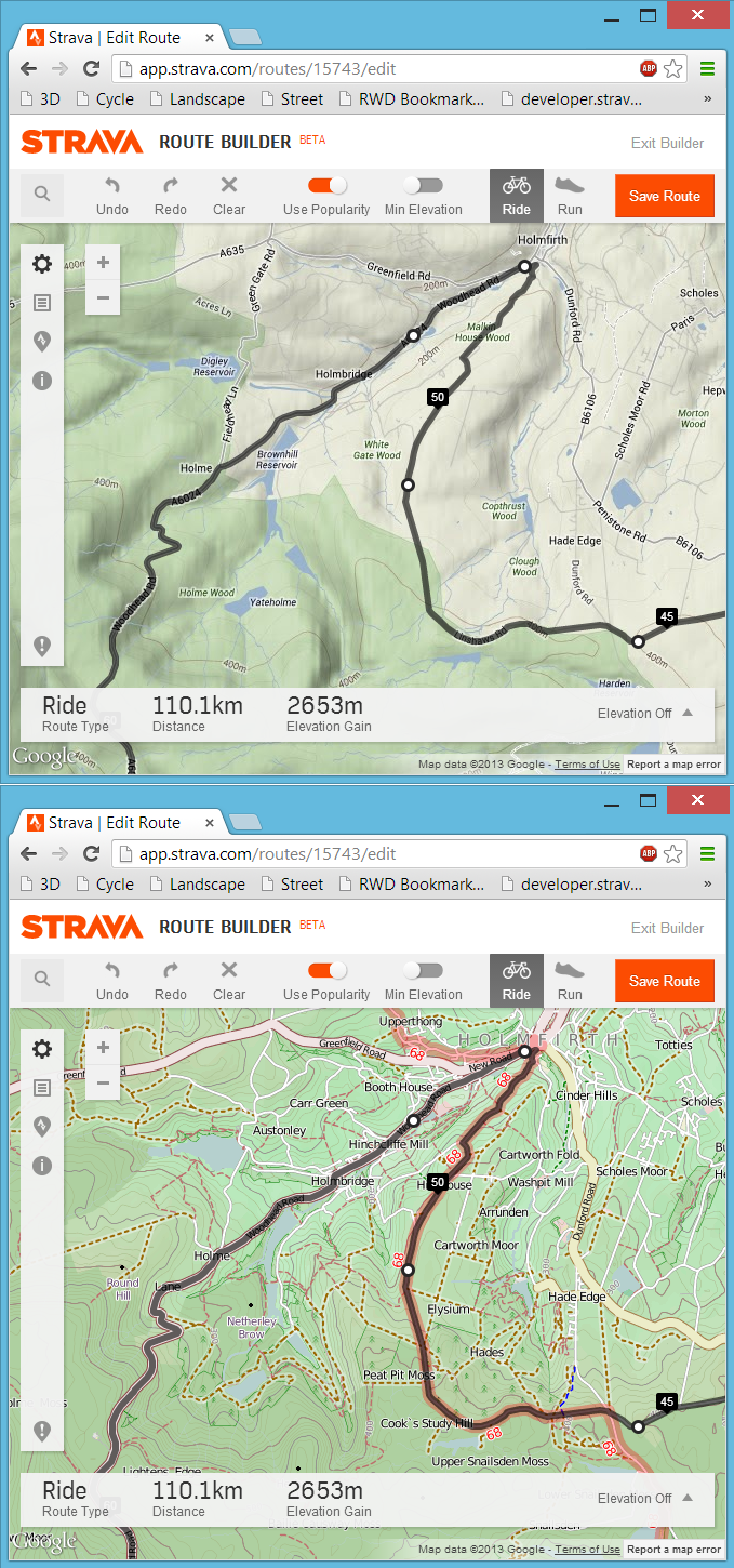
Following on from my last post about my bookmarklet to view any Strava route, activity or segment in 3D, here is the follow-up post about a far more simple bookmarklet that will swap out the default Google Maps found in the Strava website for a choice of Open Cycle, Landscape and Street Maps or the Ordnance Survey maps in the UK. At least here in the UK the Google Maps can be rather limiting from a cycling or running perspective due to a distinct lack of detail, particularly around off-road routes. Fortunately the Open Maps (and even more so the Ordnance Survey maps) have detail in spades and with a bit of JavaScript magic we can swap out the Google Maps for the alternative map of our choosing.
3D Strava/Garmin Connect/Ride With GPS Courses, Activities, Routes and Segments
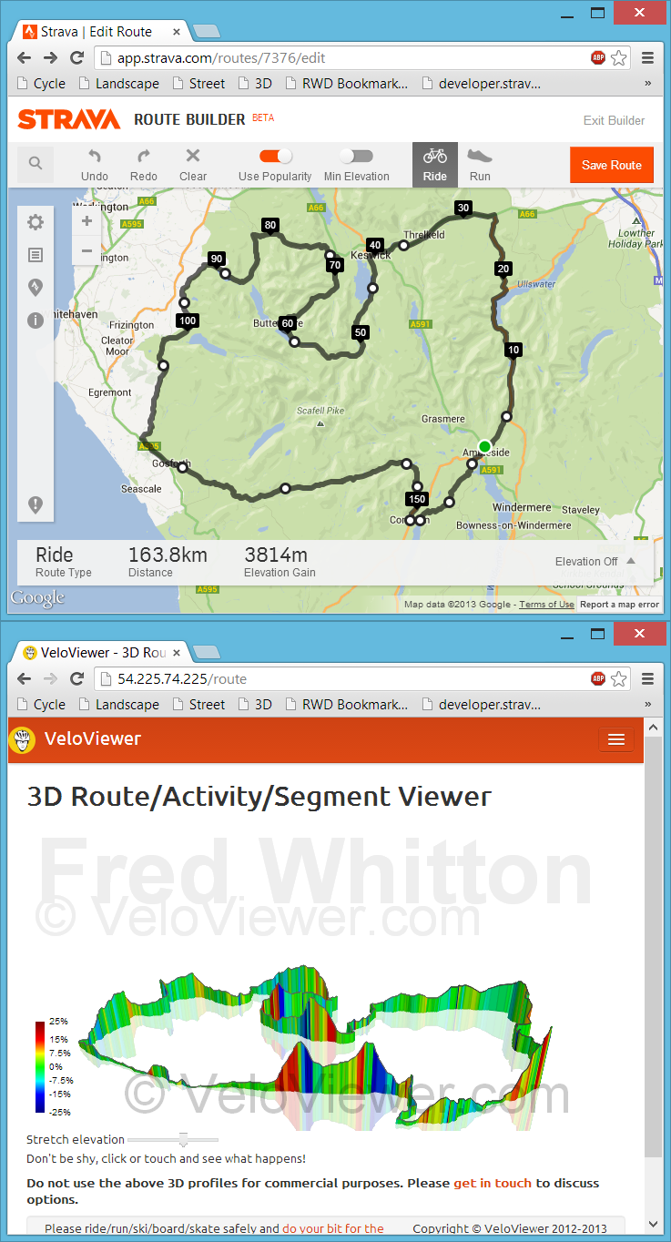
Back in July I had my first experience with bookmarklets when playing with Marc Durdin’s excellent bit of code that provides his funky elevation profiles for Activities and Segments right there, in amongst Strava’s own page contents. I might have been a bit naive but I just didn’t realise that this thing was so easy to do, so time for a quick play and see what I could come up with. First off I wanted to get an interactive 3D view of the new Strava Routes, the other thing that sprung to mind was to see if I could swap out the Google Maps view for the more detailed (at least here in the UK) Open Street/Cycle Maps which I’ll go into in my next blog post.