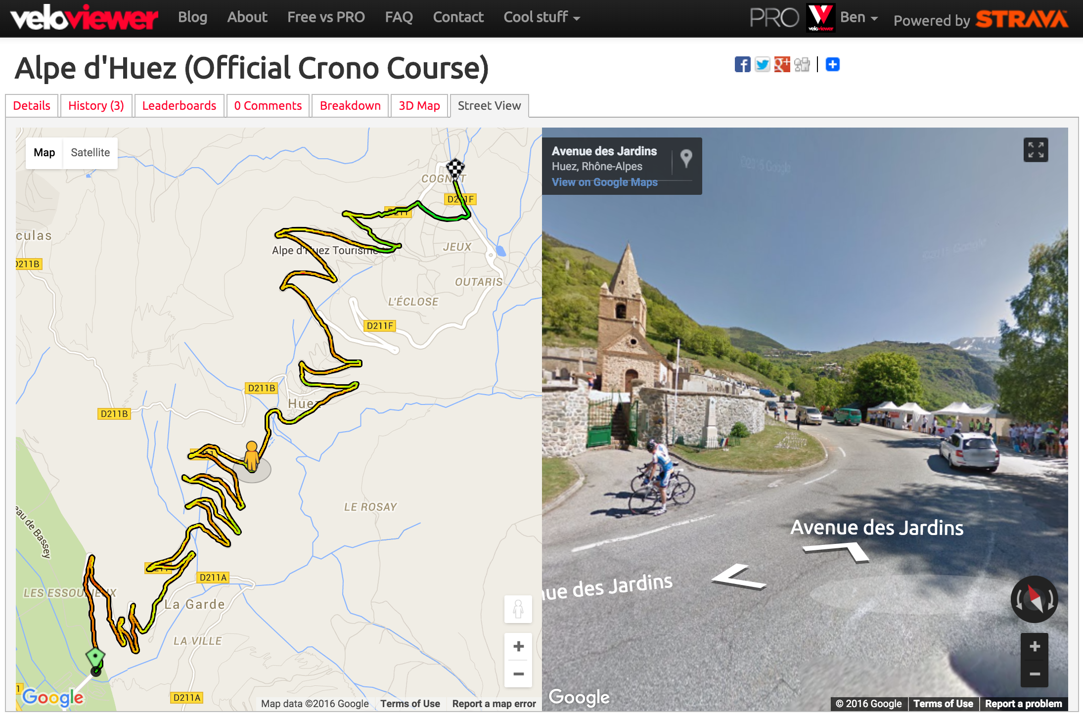
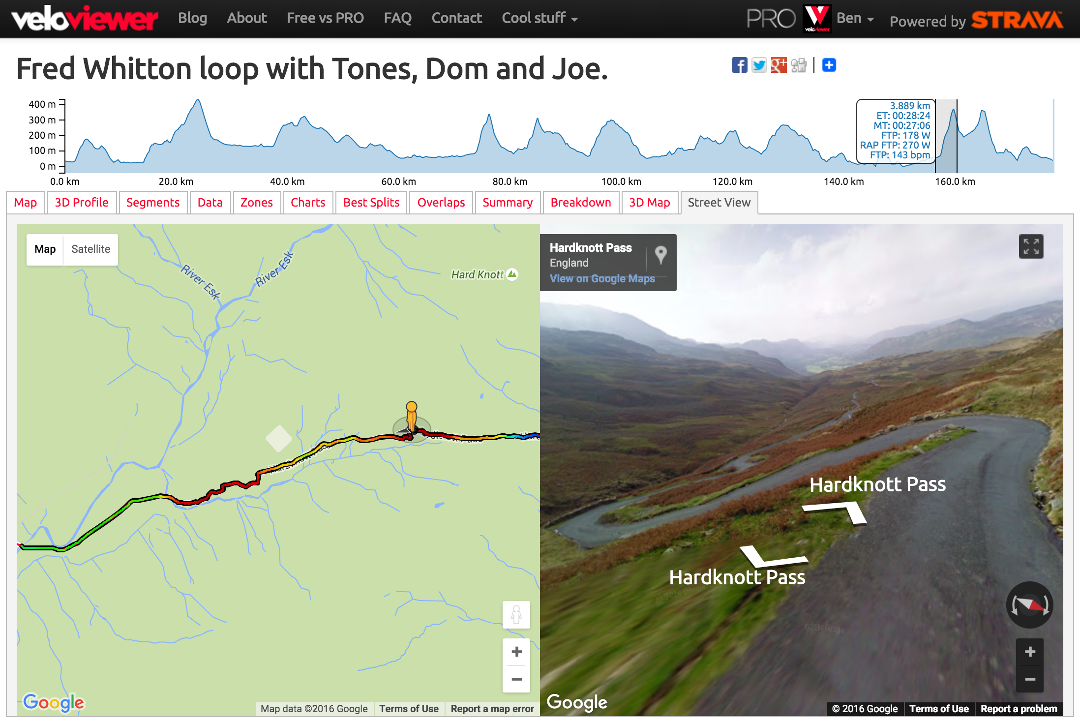
 Although we’d all love to be out riding/running much more often, sometimes we’re stuck, looking at a computer, pretending to work. So to make that time as engaging as possible you can now reccy new routes, swot up on all the details of a segment or relive a ride/run from the past using the new/revised Google Street View integration on VeloViewer. Combine that with the new colour gradients shown on the maps and you get a fantastic way to explore the twists, turns, ups and downs.
The same Google Street View tab is now available on your Activity, Route and Segment Details pages.
Top Tip: Holding the control/ctrl key down while moving the mouse over the top elevation profile (Activity & Route Details) jumps the Street View man straight to that point.
Activities
View this Fred Whitton activity on VeloViewer.
Segments
View this Alp d’Huez segment on VeloViewer.
Start and end markers will be shown in the Street View images.
Note: Colour gradients also shown when embedding segments with map on your blog.
Routes
NOTE: I’m running a trial on the Route Details page to only use Google Maps so the Street View is now available on the main map tab and the specific “Street View” tab has been removed.
This is for Routes that you have planned in Strava. It works exactly the same as the Activity Details page but rather than showing a screenshot, here is an embedded Route with the map option selected:
Note: If no Street View images are available for a position you will see a blank pane on the right hand side.

Neil says:
Street view doesn’t work for me. Tried on chrome and IOS and clicked your links above. Just get the map line but blank background and no street view.
Dominic says:
Very cool! Great way to recce the TdY sportive before cycling it…
But you don’t see if email address will be displayed (I presume not!) and it seems to require a website to be entered in order to leave a comment, which is surely a bug?
Alcino Major says:
So how to export these gradient segments to my maps ?
Ben Lowe says:
Just sync your data to VeloViewer and open up your activities/routes/segments to see the gradient maps.