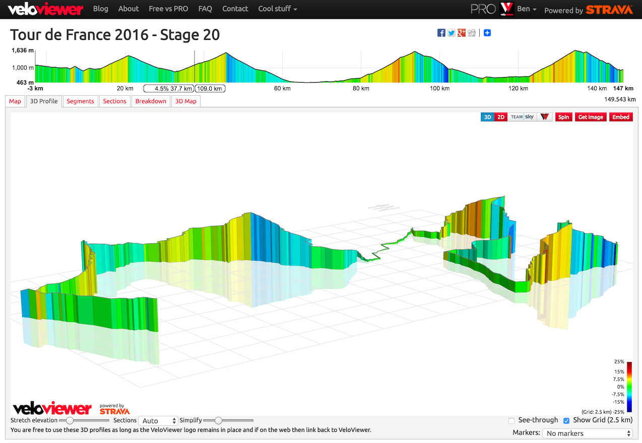
 Often events like sportives or races will provide GPX files of the course for you to upload to your GPS device, but I get lots of requests to be able to view those GPX files in VeloViewer in order to see 3D profiles, Google StreetView and other features of the VeloViewer Route Details page direct from these files. VeloViewer has two ways to do this, one is fast but slightly limited, the second is a bit more involved but provides all the features:
The fast method – direct viewing of GPX file
Note: You need to be a VeloViewer PRO (or PRO+) user to use this feature.
- Head to https://veloviewer.com/routes/0
- Upload your GPX file.
Simple! Things to bear in mind:
The lat/lng & elevation data will be whatever is included in the file. I’ve seen numerous GPX files that don’t include elevation data so those routes will appear flat.- There will be no segments shown as that requires Strava’s cleverness to match them up to the route.
- The route will not be stored in VeloViewer. If you want to see it again then you’ll need to upload the GPX file each time.
The better way
Create a Route in Strava from your GPX file. This method allows the route to be persisted and listed in your Routes page on VeloViewer, it also includes a list of segments covered by the Route:
- Head to the Strava Labs GPX-to-Route page: labs.strava.com/gpx-to-route/#12/-122.44503/37.73651
- Upload your GPX file and the page should do a pretty good job at creating a Route that matches the file.
- Save the Route and edit any bits that weren’t matched properly.
- Head to your Routes page on VeloViewer and click on the Route name: https://veloviewer.com/routes
Things to bear in mind:
- The Strava GPX-to-Route page sometimes shows an routing error. If so, refresh the page and try again or try again a little later and it should work.
- The GPX-to-Route logic will only work correctly if the route it is trying to recreate is actually routable via the OSM API it is using. Some roads may not have been mapped correctly/completely in OSM and so the route may not be able to follow that path. You can easily update the OSM dataset using the excellent tools here: http://strava.github.io/iD/#background=Bing&map=16.00/-1.7104/53.3768
- The elevation data will be based on the dataset used by Strava (NASA, Google, OSM?) so will be subject to some error. But if your GPX file was missing elevation data at least you’ll have some now!
Vinhomes Pham Hung says:
I found very useful, thank!
Nick says:
This is exactly what I am looking for. Thank you.